| |

Difference Between Political and Physical MapsThe simplest definition of a map is a graphic of a location. It is a visual depiction of a region of land or water, including its physical characteristics, districts, cities, highways, and other crucial aspects. Political and physical maps are the two primary categories of maps. Political Map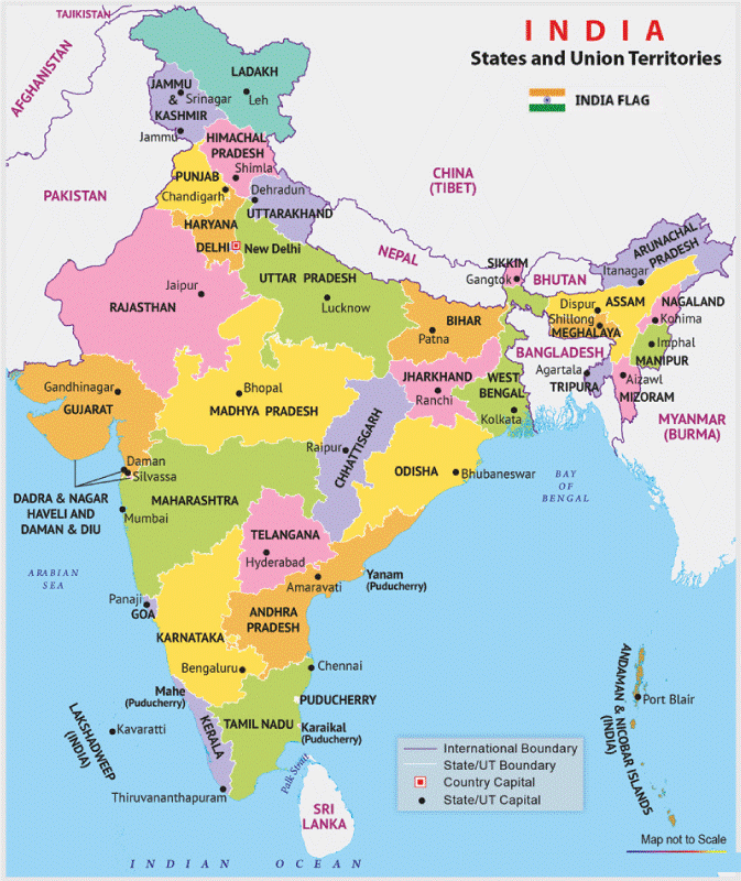
Physical maps depict the topography of an area, whereas political maps concentrate on that region's titles and political borders. From police stations to schools, they are frequently used as reference maps by many individuals, including the government and travelers. The borders between nations, states, districts, cities, etc., are shown in political and geographic divisions. Political maps show an area's politics, including political borders. It symbolizes the political divides and artificial boundaries between nations, continents, etc. Like physical maps, political maps are colored differently. Various colors are used when displaying states, districts, provinces, etc., on a political map. But it typically uses bright colors to distinguish clearly between various nations, states, provinces, and regions. However, there is no set method for selecting colors; instead, it is done randomly. Political maps typically lack topographical details but can show specific physical characteristics, such as drainage features like lakes, rivers, etc. Also, it may include the capitals of several nations and their respective road and rail systems. Geographical boundaries like rivers, oceans, and mountains occasionally coincide with political boundaries. Physical Map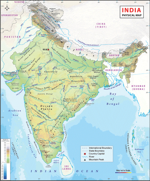
Physical maps are mainly made to study the geography of an area. It shows the various physical features of a region. Although there may be certain restrictions, this isn't the primary objective. Additionally, it might include a few names of locations within the area being represented. On a physical map, various hues depict various physical characteristics. It frequently uses a color range of green, brown, and grey to display geographical characteristics. Water entities are depicted using various blue hues, while glaciers and ice peaks are shown using white. Near-sea heights are represented by dark green, which progressively changes to brown as the elevation rises. The color grey typically characterizes the most excellent height. Blue hues are seen in rivers, lakes, seas, gulfs, and oceans, with lighter shades for shallow and darker hues for deeper lots. Thin blue lines are used to represent rivers and streams. Like all other maps, physical maps have a key that can be used to interpret all of the symbols used to represent objects on the map. These maps may be utilized by virtually anybody who needs information in this field because they are designed to depict the geography and natural scenery of the globe. Rivers, lakes, seas, gulfs, and oceans all have varying shades of blue, with brighter shades at the shallow ends and darker shades at the deeper ends. Slender blue lines represent rivers and streams. Like all other maps, a physical map has a key that can be used to decipher all the symbols used to represent the various things on the map. As these maps are made to show the geography and natural environment of the world, they may be used by almost anybody who wants knowledge in this area. 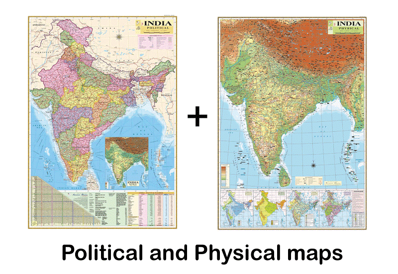
Political V/S Physical Maps
Some key Differences Between Physical and Political Map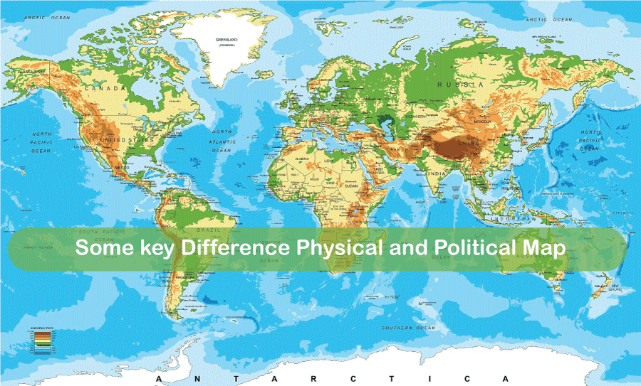
Next Topicdifference-between
|
 For Videos Join Our Youtube Channel: Join Now
Feedback
- Send your Feedback to [email protected]
Help Others, Please Share


