| |

Land DefinitionThe land is a broad term that refers to the solid part of the earth's surface. The term "land" refers to not just the soil but also to everything that is affixed to it, whether that attachment results from human intervention (buildings and fences) or the natural flow of things (trees, vegetation, and water). 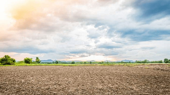
IntroductionThe land is the solid portion of Earth's surface not covered by an ocean or other large body of water. It is often referred to as dry land, dry ground, or earth. It encompasses all islands and continents and accounts for 29.2% of the Earth's surface. Regolith, the layer of rock, soil, & minerals that makes up the outermost portion of the crust, covers practically the whole surface of the land on Earth. Due to its involvement in the carbon, nitrogen, and water cycles, land plays a significant role in the planet's climate system. Glaciers and permanent snow cover a tenth of the area, another a third by farmland, and a third by woods. Many landforms exist, including deserts, mountains, plains, plateaus, and glaciers. The land is split into two main types in physical geology: Craton names for mountain ranges and their mostly flat interiors. Both are the result of plate tectonics over millions of years. Streams, a significant component of the Earth's water cycle, sculpt the terrain, move sediment, and recharge groundwater. Snow is compacted & recrystallized over hundreds of thousands of years at high elevations or latitudes to form glaciers, which can be so heavy that they bend the Earth's crust. Due to more water being lost through evaporation than is gained through precipitation, about 30% of the land has a dry environment. Although the Earth's rotation and the unequal distribution of the sun also contribute, winds are created because heated air rises. The land is frequently referred to as the Earth's stable, dry surface. The term "land" can also refer to the physical outcomes of human activity on land, such as buildings and agriculture, as well as the land's cover, rivers, shallow lakes, natural resources, nonmarine flora and fauna (biosphere), lower atmosphere (troposphere), and groundwater reserves. The shoreline is the region where dry land meets any body of water, even though water-saturated terrain, often known as mud, is typically away from the ocean. The first cellular life on Earth probably began on land, even though current terrestrial creatures and plants evolved from watery species. Fresh water from glaciers, lakes, rivers, and streams-only 3% of the water on Earth-is essential for life on land. Throughout history, the bulk of human activity has occurred on liveable land home to crops and other natural resources. Scientists and decision-makers have emphasized the need to manage the land and its ecosystem in recent decades sustainably. This can be done by restoring damaged soil, preserving biodiversity, safeguarding endangered species, and combating climate change. 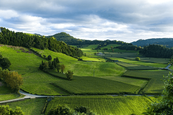
Various Forms of Land UseThere are six types of defined land uses or classifications that people utilize the land for. Land use can be divided into six major categories:
Most of the time, rigorous guidelines govern its use and location. People or organizations can own land; unowned property is known as public land. Public lands are owned by all and purchased with tax money. Strict guidelines will be in place for public land use and will fall under the jurisdiction of the national, state, and local governments. In addition, certain public lands have been designated as protected lands. Public property that has unique qualities or attributes is considered protected land. It requires the defense of more severe and comprehensive rules defining what is allowed. In India, protected public spaces include national parks like the Jim Corbett National Park, Kaziranga National Park, etc. 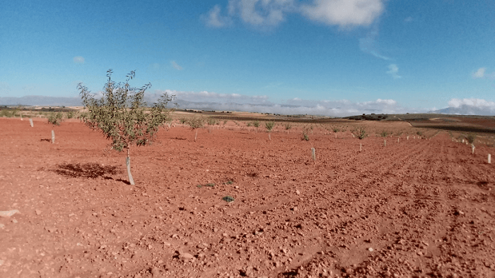
When people move from rural to urban settings, this is referred to as urbanization. Land use needs to alter as a result of urbanization. The need for new housing and employment grows along with the population. Additionally, it comprises changing land use from agriculture or natural recreational areas to buildings for homes, businesses, industries, and transportation. Additionally, there is acreage designated for recreational activities (parks, playgrounds, etc.). In order to create estimates for future land use, city planners and other governmental organizations look at where and how people reside. In accordance with regulations and zoning laws, this information is utilized to advise correct property use. Whether a region is urban or rural, zoning and restrictions on land use help preserve its quality. Locating land earmarked for residential development far from important agricultural or industrial zones may be advantageous. It might make sense for commercial land usage to be close to residential land. Humans can make use of certain land parcels in a variety of ways. These can include habitation, institutions, commerce, industry, agriculture, forestry, parks, and other reasonably natural land uses. Depending on the kind and level of the activities being done, every one of these broad categories can be subsequently segmented. For instance, single-family homes on big or small lots and collections of different multi-unit housing types can be used for residential land uses. Apartment complexes, which can accommodate incredibly high densities of people, are connected with the densest residential land uses. Most of the time, public buildings like schools, universities, and office buildings for the government, art galleries, & museums are located on land used for institutional land uses. Urban or suburban regions are the most typical locations for these facilities. Business land uses share a lot of similarities and are typically connected to office buildings and property that has been set aside for various types of retail establishments. Depending on the type of enterprise being evaluated, there is a wide range of industrial land uses. Urban-industrial land use typically refers to the placement of industries or refineries, as well as utilities like power plants, water treatment facilities, and sewage treatment facilities. Mines, smelting facilities, and mills for manufacturing goods can all be considered industrial land uses in rural areas. The Incas used terraces to maximize the little cultivable land they had. These terraces can be seen close to Peru's Machu Picchu. Visuals by JLM. Reproduction permitted. Ores and metals, mines & wellfields for the extraction of fossil fuels, including coal, oil, and natural gas, as well as significant water storage facilities for hydroelectricity generation. Industrial land uses include those for forestry and agriculture, which are related to producing renewable resources like food and wood fibre. The way that agricultural land is used relies on the kinds of crops that are grown there as well as the agronomic systems that are used, which can range from intensively controlled monocultures to more organic methods that grow annual or perennial plants with no use of pesticides or fertilizers. Similar to other land uses, forestry systems range in intensity from clear-cutting and short-rotation plantation planting to selection-harvesting and long-spaced interventions. Park and golf course-related land uses also involve significant alteration of the surrounding natural landscape. These ecosystems, which are dominated by lawns, require similar management techniques to some monoculture agriculture systems. However, some types of parks are hardly altered from the original state of the terrain and may require the construction of certain access roads, dirt paths, and observation centers. The last significant type of land use, which is actually non-use, entails designating a region as a wilderness or ecological reserve. This type of land-use classification typically prohibits using natural resources through extraction, forestry, agriculture, and typically by hunting and fishing. However, many sites authorized for natural land use may allow for scientific study and leisure activities without elaborate amenities, including hiking and canoeing. Land Usage in IndiaHaving over 1.3 billion inhabitants, India ranks as one of the most populous nations in the world, and as a result, it has a sizable amount of territory. India's land resources are crucial for the entire world community as well as its own population. A few of India's numerous land resources are arable forests, agricultural land, and minerals. About 60% of India's total land area is considered arable. Agriculture, the foundation of the Indian economy, occupies most of this fertile land. In India, the agricultural sector employs almost half the labour force, accounting for 15% of the GDP. India's primary agricultural products include rice, wheat, lentils, sugarcane, and cotton. India significantly produces tea, coffee, tobacco, and spices. About 21% of India's land area is covered by forests. The country boasts a wide range of plants and animals, and many endangered kinds of animals call its woodlands home. As a source of wood and fuel for businesses and individuals, forests are crucial to the Indian economy. They also aid in preventing soil erosion and regulating the water cycle. Minerals, including mica, bauxite, copper, zinc, manganese, iron ore, and limestone, are all abundant in India. These minerals are used for a variety of things, such as building materials. The land is one of the most priceless natural resources. The earth sustains our living system. As a result, strict management of land resources is needed. In India, there are numerous different types of land. Examples include islands, plateaus, mountains, and plains.
Next TopicLearning Definition Psychology
|
 For Videos Join Our Youtube Channel: Join Now
Feedback
- Send your Feedback to [email protected]
Help Others, Please Share


